Still fresh from
Higantes Festival in Angono, our group continued the day to the nearby town of Pililia to feed our trekking urges.
ooh yeah! Mt. Sembrano was waiting for us.
___________________________________________________________________________
Sunday - November 18, 2012
It took us about an hour jeepney ride (P35) from Angono junction up to the terminal in Tanay. Then another 30 minute jeepney ride (P20) before we reached the jump-off at Brgy. Malaya in Pililia.
Medyo may kahabaan ang byahe at palipatlipat pa ng sasakyan kaya medyo nakakapagod. But anyway, we arrived just right in time - lunch time.
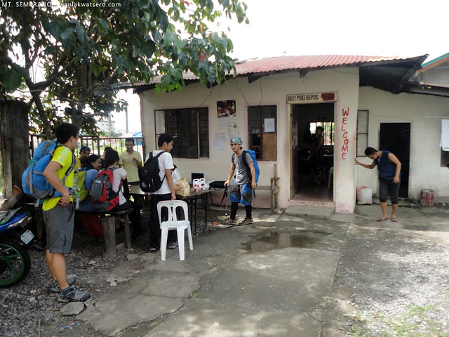 |
| It was lunchtime when we arrived at the jump-off, so we ate first our lunch before proceeding with the trek. |
By 11:30 AM, after paying P20 registration fee, our trek commenced. It was high noon,
sobrang init lang!
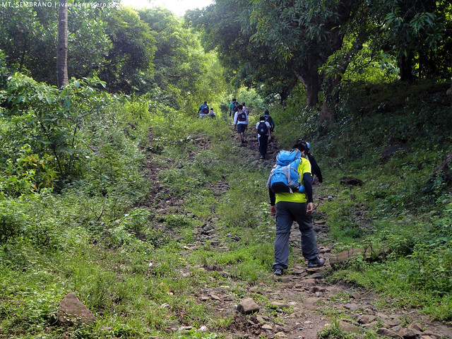
From the main road, we turned left to an upward road that soon became the trail to summit. The early part of the trail was beginner-friendly, there were several forks but we were advised to always take the rightward trail. The ascent was also not that steep so basically it did not tire our group big time. In fact, 2 among my joiners in this hike are beginners, but whoa, they tramped the trail almost effortlessly.
 |
| ANG INIT NG ARAW!! |
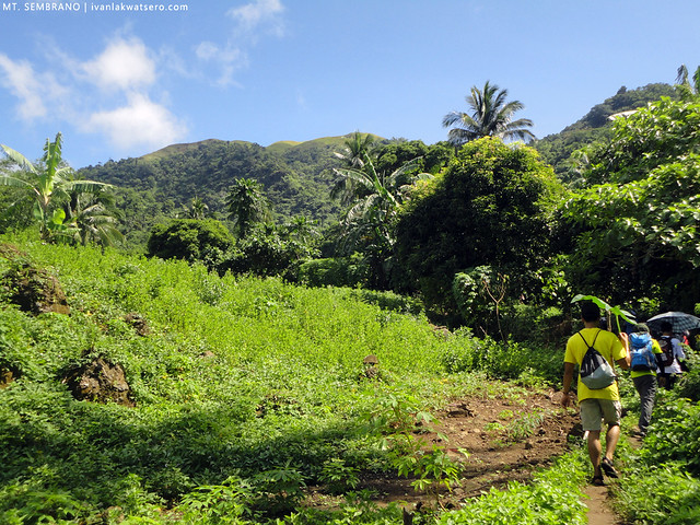 |
| ayun na ang summit, but it's still a long way up |
We reached halfway after about an hour. It's a wide open space, popularly known as Manggahan Campsite. There you will find a resting station as well as the second registration (P10). They also have freshly picked coconuts for weary mountaineers (P10 per buko).
 |
| Some parts have shade naman, pero mainit pa rin dahil walang hangin. |
 |
| everyone is required to pay P10 for entering a private property |
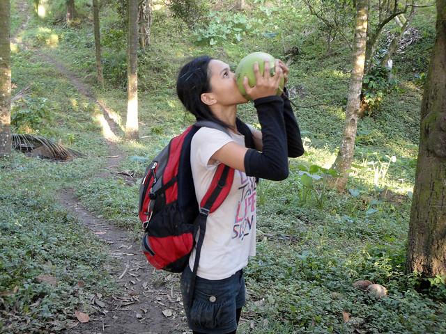 |
| Buko Sarap! P10 lang |
At 1pm, we continued our way to summit. Ascent from the campsite gained significant steepness.
Dito na nagsimulang hingalin ang majority sa amin. Some portions of the trail would require the use of both hands while climbing, but generally it was still manageable. Somehow, the trail reminded me of Pico de Loro's.
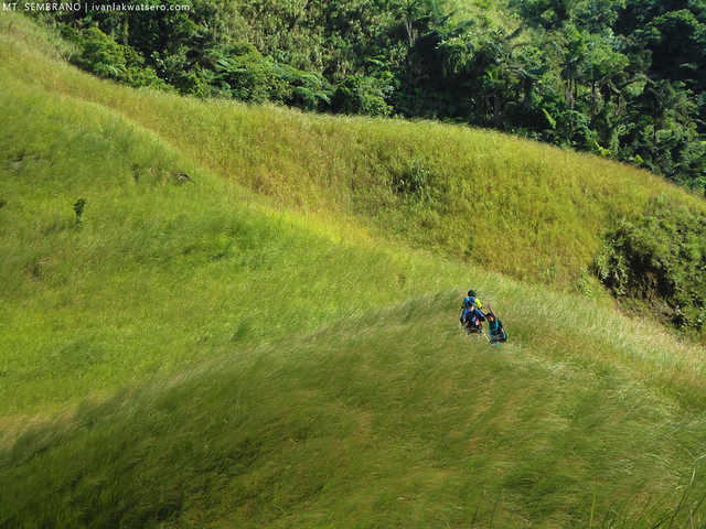
The grassland part was reached after about 45 minutes. View was awesome (Talim Island with its Tagapo peak, Malaya Power Plant, and Laguna Lake) but we cannot afford to halt and appreciate it for long, or else we'll end up toasties.
Sobrang init lang talaga ng araw.
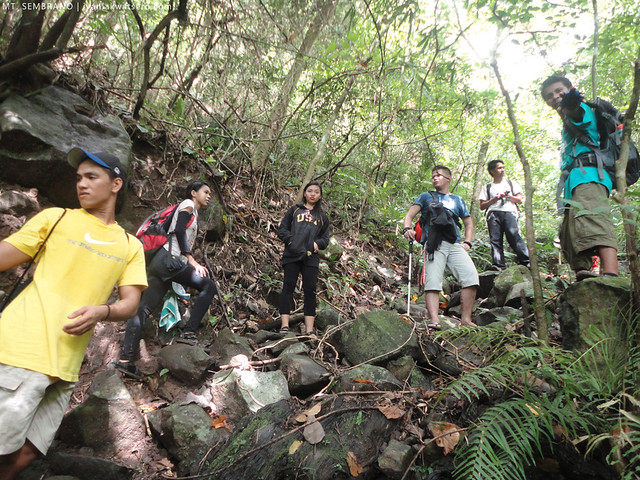 |
| into the grassland |
 |
| payong pang-proteksyon |
Our group reached the low peak at 2PM. From there, I was able to spot several Southern Tagalog mountains which mostly I already climbed. I even saw the Metro Manila skyline.
 |
| Mt. Sembrano High Peak seen from Low Peak |
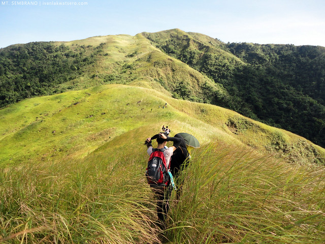 |
| from the low peak, we continued trekking towards the high peak |
 |
| through the tall grasses on the trail. Wearing sleeves or arm warmers can help a lotto prevent cuts |
It took us about 30 more minutes to reach the high peak and our reward, spectacular view.
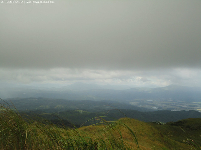 |
| Sierra Madre Peaks from the summit |
 |
| click the photo to enlarge |
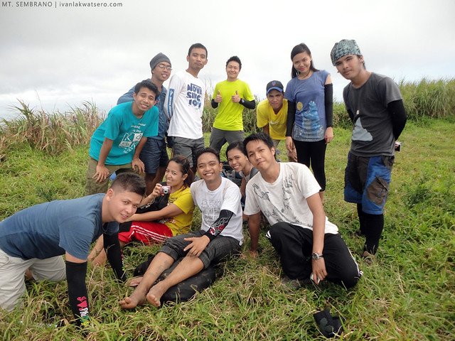 |
| group photo at the summit |
There's a small waterfalls located nearby the Mangahan Campsite, hence many call this body of water, Mangahan Falls. We wanted to check out this waterfalls so we quickly left the peak at 3PM for it.
When we're back at the mangahan campsite we took the downward trail on the other side that eventually led us to the waterfalls. We spent some time there dipping at its a bit murky water.
Refreshing pa rin naman daw kahit ganun yung kulay.
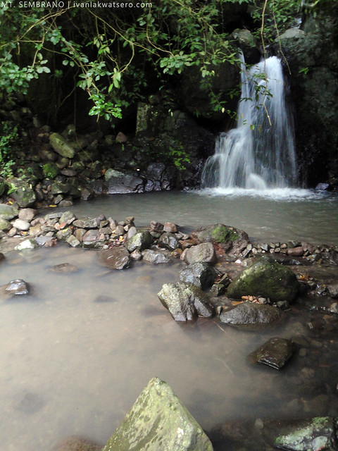 |
| not really an astounding waterwalls but still enjoyable when you're with a happy group |
We started to descend the mountain by 04:45 PM, Not all of us have head lamps or flashlight so I rushed everybody during the descend.
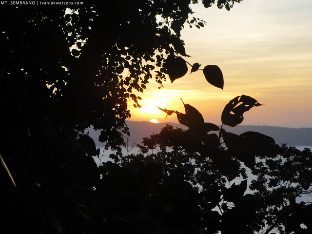 |
| we were able to witness the sunset while descending Mt. Sembrano. A sweet goodbye. |
Finally we're back at the jump-off at 6PM. We freshen up ourselves at the barangay police station (
there's only one bathroom kaya mega hintayan sa pag-ligo) then took the last trip (7PM) back to Tanay Rizal. Then at Tanay, we had dinner first at my favorite Mang Inasal before we took the 9PM (also the last trip) jeep back to EDSA-Shaw crossing.
______________________________________________________________________
28th mountain completed
______________________________________________________________________






congratulations for another mountain on your list .. waaaaah romi garduce lang in the making ang peg?
ReplyDeleteCOOL!
ReplyDeletecan I grab some of your pics? I just want to show it to my friends on fb.
ReplyDelete.. ..batang lakwatsero . i salute you my brother .your motivation is like those mountains .high.huge and interesting. ...godspeed .
ReplyDeletehi! ask ko lang po kung straight lang po yung way or walang ligaw sa trail ng Mt. Sembrano? we're planning to climb it this June12. thanks a lot sir!
ReplyDeleteGano kataas ang peak above sea level ? Anyone? Thanks. :-)
ReplyDelete