There's a flood of about 3 inches deep inside our tent. We want to sleep but we can't, aargghh, it is my worst camping experience ever!It was June of last year when we had this horrifying experience on Mt. Marami. We were so stormed and flooded during the night, and was clouded the next morning. Yes, without a doubt, it was my worst mountain camping experience, even up to this date, but even so, it is also one of my most favorite climbs of all time. (check out my first Mt. Marami experience in this link). Isn't it weird that sometimes our worst experiences are also our most favorite? Anyway, I made a promise to myself that I would one day return to this mountain for a redemption.
Finally, 7 months after that memorable Mt. Marami hike, the promise of redemption was put into action.
_________________________________________________________________________
Sunday - January 13, 2013
In this redemption climb, I was joined by 8 of my hiking friends (busy sa buhay yung 2 original kong kasama sa Mt. Marami so hindi sila nakasama). Basically, this hike was just the repeat of my previous Mt. Marami climb, but instead of an overnight hike, we did it as a quick day hike.
Via commute, we reached Brgy. Ramirez in Magallanes, Cavite at 06:30AM. (commute details: From Plaza Lawton in Manila, ride a bus bound for Naic, Cavite. Alight at Petron Naic then walk a few meters towards Magallanes jeepney terminal which is near BPI Naic. Take a jeep to Magallanes. Either alight at Magallanes municipal hall and ride a tricycle to Brgy. Ramirez or you could tell the jeep to bring you directly to Brgy. Ramirez. Total travel time would be 3 to 3.5 hours)
There was a fiesta at Brgy. Ramirez by the time we went for Mt. Marami. The friendly people of the barangay were very welcoming, even invited us to join their celebration. Pero hindi pa muna pwede, our goal for that day was the summit of Mt. Marami. As soon as we registered and paid the necessary fees, we started the trek.
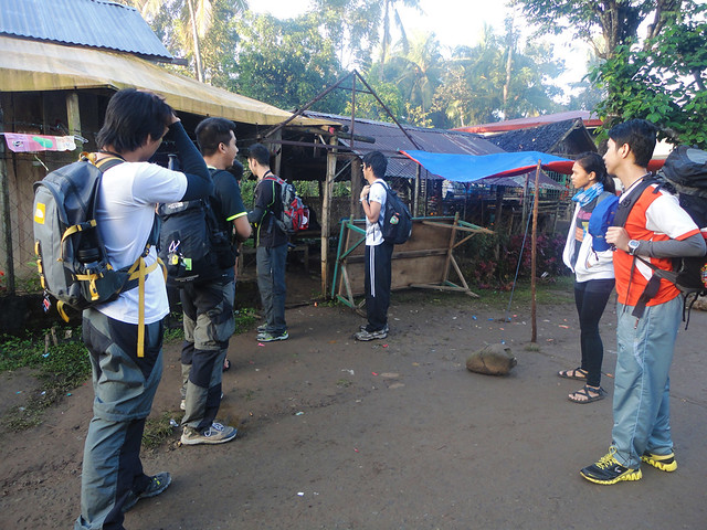 |
| At Brgy. Ramirez, hurtfully declining the locals' invitation to join their fiesta. |
 |
| At around 7 AM, we started the trek. |
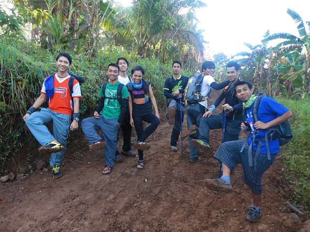 |
| at tulad ng dati, maputik pa rin ang daan. Kumakapit parin ang putik. |
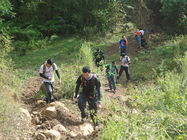 |
| Past the second river, we started ascending the real mountain. |
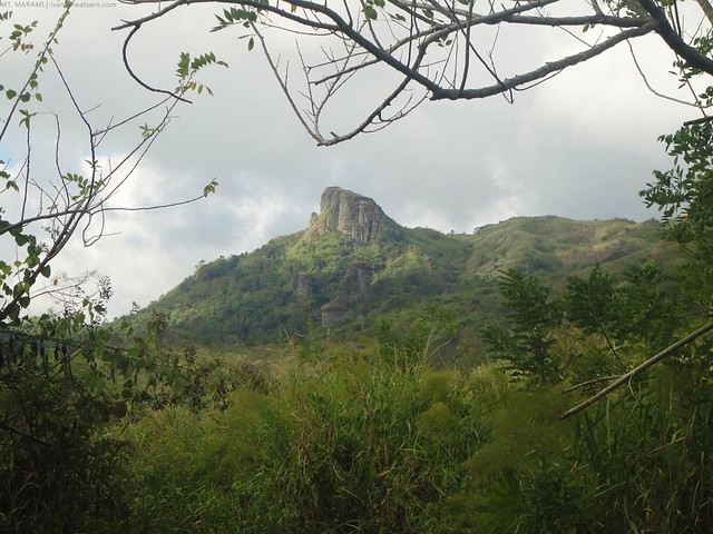 |
| Mt. Marami from the trail |
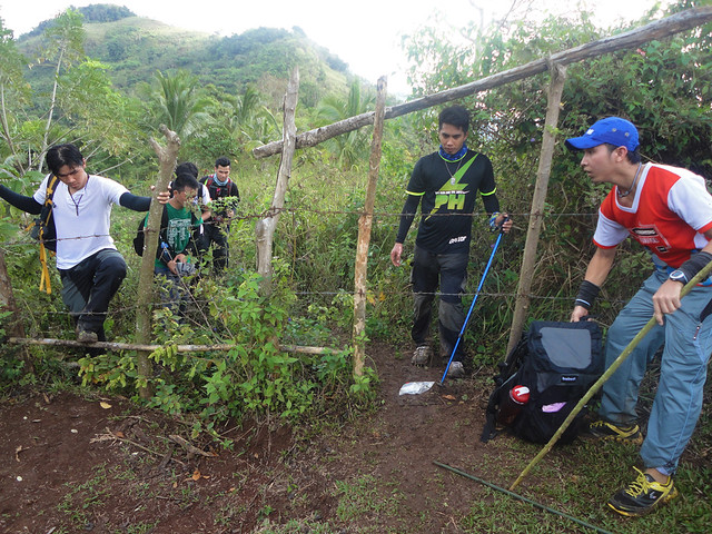 |
| then through this barbed fence |
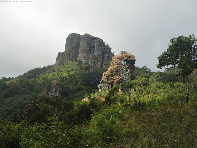 |
| we're closer to Mt. Marami |
Around 10:10 AM, after finishing our lunch (naka-baba na rin yung mga nauna sa summit), we assaulted the Mt. Marami rockies.
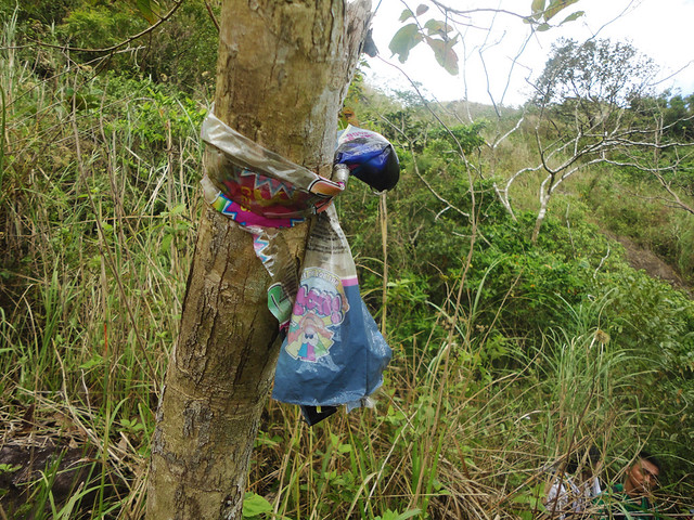 |
| Seven months ago, we were so lost on the maze of trails towards the rockies area. So I tied this trail sign to mark the right path. I am so happy to see it still there. |
| panoramic shot of the Maragondon Range that surrounds Mt. Marami. most prominent peak is Pico de Loro to the right. |
 |
| some famous mountains spotted from the summit of Mt. Marami |
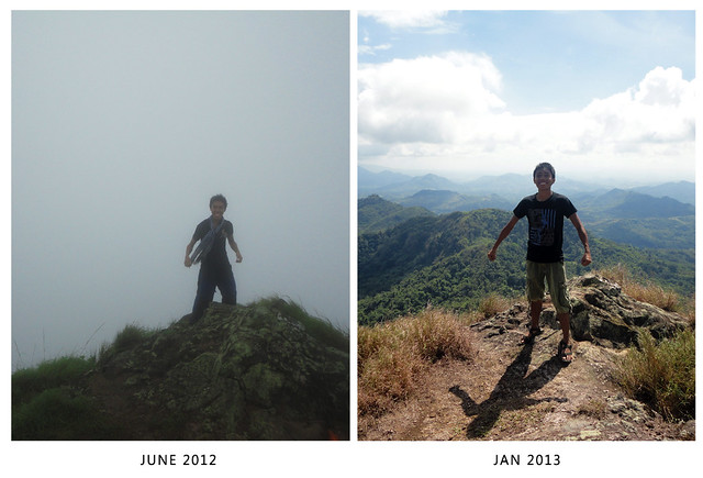 |
| at the summit, before and after |
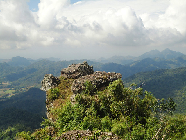 |
| Mt. Marami's "Silyang Bato" I never saw this thing during my first hike. Back then, this was completely shrouded with clouds. |
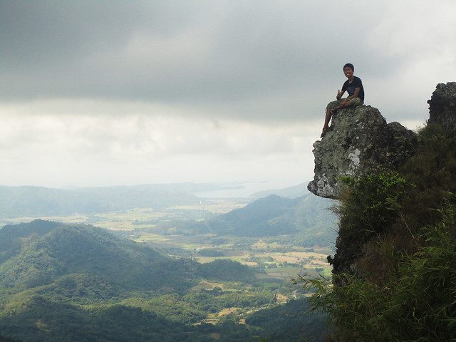 |
| One by one, we went to "silyang bato" for a rewarding souvenir photo.Siyempre hindi pwedeng wala akong photo |
A Detour
Instead of taking the same way back to jump-off, our group gambled on taking the wide trail all the way to the end (thinking that it will still lead us to Brgy. Ramirez). But it was totally a wrong idea.
The trail was longer and has no shade, an open trail, talagang nabilad kami. And to make things worse, we ran out of water during the trek. We're a bit desperate so I rushed towards the end and found out that we're already at a barangay (Brgy. Talipusngo) already part of Maragondon, Cavite.
Luckily, Brgy. Talipusngo is not a remote barangay and it lies along the highway, so hindi rin kami nahirapan sumakay pauwi.

Parang mamamatay ako sa last pic! Syet lang! Di ba yun nakakatakot? nasa edge ka?
ReplyDeleteI came across your blog last month and since then I became one of your readers. I have climbed the Eiffel Tower in Paris and the Cupola in the Vatican, but never a mountain. I hope that one day I would be able to join one of your climbs. Good luck and keep climbing!
ReplyDeletepwede bang mt marami at mt pico de loro in one day since pareho naman sila cavite (maragondon and ternate)?
ReplyDeleteWe will be doing Twin Day Hike of Mt. Marami and Mt. Pico De Loro this coming September.
ReplyDeleteKelan sa september?
ReplyDeleteKelan sa september?
ReplyDeletehi required ba na kumuha ng guide sa trail nyo or hindi naman? TIA!
ReplyDeleteif you're familiar with the trail, oks lang na hindi na kumuha.
DeleteFor mt. Marami transport service contact us at 09264145429
ReplyDeleteFrom anypoint of cavite to brgy ramirez jum off point magallanes cavite
We just climbed (overnight) Mt. Marami this weekend. Our group would want to recommend Sir Aldrin as guide: 09065079694 /,09369682387
ReplyDelete