As we descend the mountain considered by many as the devils' dwelling (check out my latest article on Mt. Cristobal Traverse), a grassy hill with white cross came into sight. From its summit, we heard sounds of laughter and loud voices, "ah, the people up there were having fun, is it a park or something?".
"Tayak Hill na po yan sir, pwedeng akyatin ng mga 30 minutes lang," our guide replied.
I honestly know nothing about this Tayak hill aside from it being windy, grassy and has a cross on top, I'm totally clueless. Little did I know that beyond its windy summit with tall white cross is a piece of WW2 history.
Sunday - January 6, 2013
When we reached Brgy. Tala in Rizal, Laguna from a traverse day hike on Mt. Cristobal, our chartered jeep wasn't there yet (it's because we finished earlier than expected). So to kill our waiting time, our group decided to hike up Tayak Hill which is just nearby (Brgy. Tala is the jump-off of Tayak Hill).
 |
| Tayak Hill as seen from the foot of Mt. Cristobal |
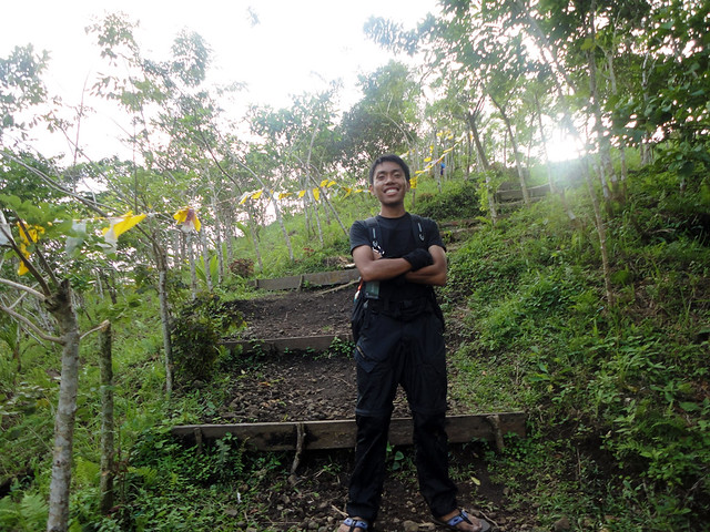 |
| we took the shorter path that has stairsteps, at first, we tried to run it all the way to the top, pero nasa kalahati pa lang todo hingal na kami. |
We just rested, had some pictures and embraced the cool breeze in the area.
 |
| the tall white concrete cross and the short wooden cross of Tayak Hill. |
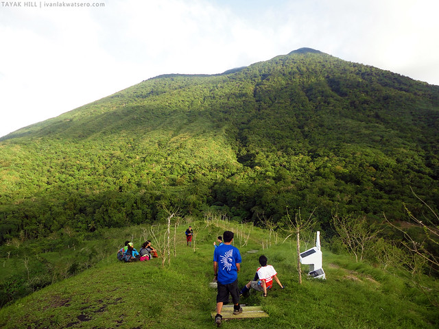 |
| Mt. Cristobal seen from Tayak Hill |
 |
| Malarayat Range with prominent peaks: Manabu, Susong Dalaga and Malipunyo |
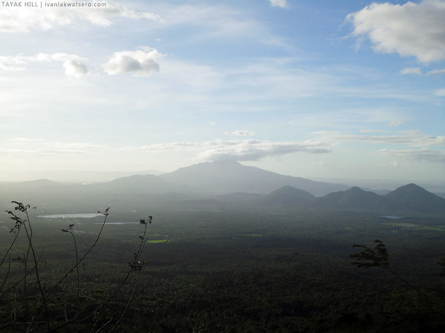 |
| Mt. Makiling with the hills (Imoc and Prinza); also visible are some of the Lakes of San Pablo (Sampaloc, Bunot and Palakpakin) |
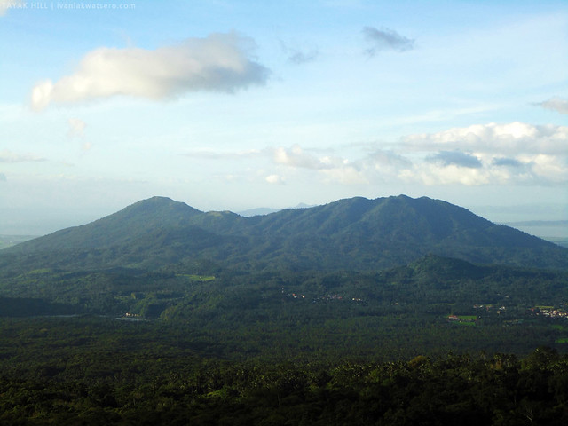 |
| Mts. Kalisungan-Atimla and Mabilog, as well as the summit of Mt. Tagapo. |
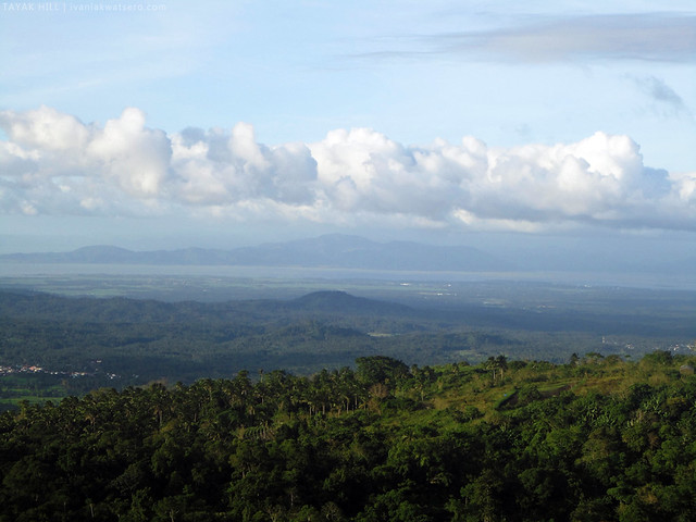 |
| Mt. Sembrano was also spotted |
Beyond the Cross and Windy Summit
I have not realized the importance of Tayak Hill in our history until I read this interview by David Dwiggins. Who would've thought that a landing strip actually existed in the area way back the WW2 period.
During the liberation in 1945, the guerrillas of San Pablo built a 300m landing strip on top of the hill (served an L-4 Piper observation plane). It also served as drop-off point for ammos, arms and provisions. Interesting isn't it?

oooh! Interesting side trip. Gusto ko din to marating.
ReplyDeleteHongganda naman diyan. Hanggang tingin nalang ako tamad ako sa mga akyat akyat ng bundok hihi
ReplyDeleteWay back 2002 we been there, wala pang nakakaabot na sasakyan halos, lakad lang talaga mula sa tala resort..Ngayon maganda na pumunta at abot na ang sasakyan halos at konting lakad na lang.
ReplyDeletePupunta ulit kami dyan next week.
pwede po ba mag camping ditto overnight?
ReplyDelete