Now that Mang Bino, the famous guide from Calauan, has finally finished connecting the networks of trails that exist on both Mt. Kalisungan and Mt. Atimla, traversing these two adjacent mountains is now possible. I heard this good news from Doc Gideon as he shared his plan on hiking the twin mountains that lay on the border of the towns Calauan, San Pablo and Nagcarlan in Laguna on Labor Day. And of course, I showed great interest in joining him in this hike.
_______________________________________________________________________________
Wednesday - May 1, 2013
Our plan was to traverse the twin mountains, starting from Mt. Kalisungan in Calauan, through the ridge that connects the two mountains, then finally, finish the hike in the San Pablo side of Mt. Atimla. This could go up to 10 hours, hot and energy draining trek, according to Doc Gideon, as it is still somewhat exploratory.
So at 6 in the morning, after traveling from Manila and meeting with Kuya Bino, the group of 12, which Doc Gideon assembled, began the day's adventure.
Mt. Kalisungan
I wrote before, based on first hand experience, that this mountain is notorious for having a chain of confusing trails. During my first climb here, we were so lost for about 2 hours, already hacking our way up the summit and almost totally ran out of water (
read the story of my first ascent in Mt. Kalisungan in this link). I'm glad we still made it to the summit safely despite all the troubles. I was only 20 back then, too young and daring, my lack of experience and thirst for thrill made me go on that hike of luck and uncertainty.
Anyway, Mt. Kalisungan is among the early mountains that thought me valuable things in mountaineering. It made me realize that hiking without a guide, however thrilling, won't prove anything. Getting a guide won't make you look weak or lily-livered. With or without a guide, it still boils down on how well you spent your golden time on the trails.
 |
| on the way to the summit |
Since I've hiked Mt. Kalisungan a couple of times already, I've become too familiar on its trails. I know exactly when and where we would rest, would need to exert extra effort, would appreciate the scenery, and would take pictures.
Masasabi kong kilatis ko na ang bundok na ito.
We passed by a lot of fruit trees (with no fruits yet), two kubo (huts), a bamboo grove, before finally arriving at the final steep assault to the summit at around 8 AM. It then took us several minutes to surpass this challenging assault.
Sobrang nakaka-hingal talaga itong part na ito ng Mt. Kalisungan.
 |
| the newly trimmed grassy summit of Mt. Kalisungan. |
By 8:05 AM, we arrived at the grassy peak of Mt. Kalisungan. Nothing much has changed, except for the newly installed concrete markers (where a wooden cross used to stand), it's still the same hot, shade-less grassland from my first visit.
The clear day revealed to us the peaks of Banahaw and Cristobal directly southeast, Malarayat Range, Makiling and a faint Maculot to the southwest, then there's Tagapo and Sembrano of Rizal Province to the north. Not to mention, there's also the seven lakes of San Pablo City. The summit of Mt. Kalisungan is indeed a good vantage point to view all the surrounding nearby peaks and waterforms.
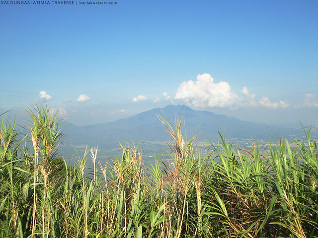 |
| my ever favorite Mt. Makiling as seen from Mt. Kalisungan |
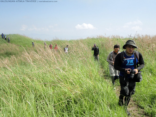 |
| intense heat at the summit of Mt. Kalisungan. |
At 9 AM, as the heat from the sun intensifies and starts to tell us to move on to our main goal of the day which was Mt. Atimla, Kuya Bino led us to his one week old trail to Mt. Kalisungan's twin mountain.
Mt. Atimla
It was this mountain, and not Mt. Kalisungan, that made me feel excited in this day hike, simply because it's a new mountain to me (
my 44th unique mountain in my Kabundukan Page). The type of trail that would welcome us and the view from its peak kept me wondering.
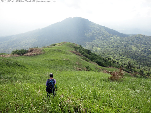 |
| view of Mt. Atimla as we descend Mt. Kalisungan. |
Descending the peak of Mt. Kalisungan through the steep (very steep) trail that Kuya Bino created just a week prior to our hike was no easy task. It was hot, and the tall blade-like talahibs were piercing, let alone its almost 70° steepness.
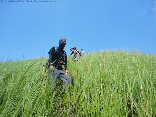 |
| The steepness of the trail gave us the challenge we've been looking for. |
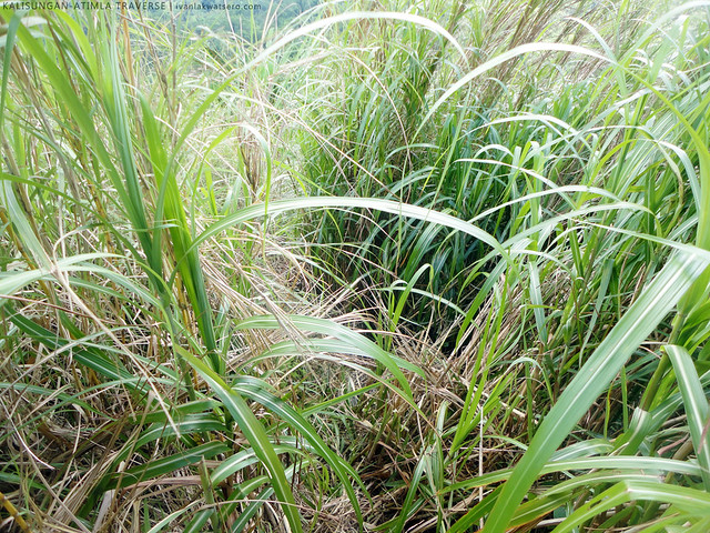 |
| given that the trail was just one week old, it's still not so clear, . |
Past the steep talahiban trail, we arrived in a woodland akin to Mt. Malipunyo's, which I would describe as very humid and full of unwelcoming red ants. Although Kuya Bino left some trail marks (
taga sa mga puno), the trail still remained a little too confusing, hence some of us got lost (
pero nakita rin naman sila moments later).
 |
| into the confusing forest of Mt. Atimla |
 |
| rest time while others are busy fending off the red ants |
Then out of nowhere, we stumbled upon an isolated but inhabited house. The old lady who resides in the house welcomed and offered us seats where we can rest (
thanks madam). From here, Kuya Bino (pointing to the forested summit of Mt. Atimla) said that it would still take 2 hours up to the summit.
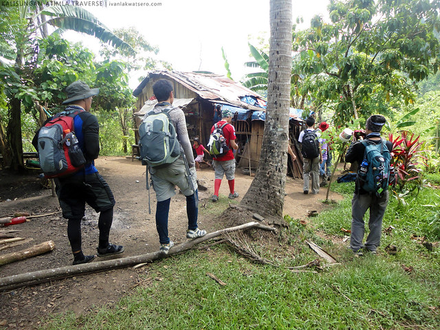 |
| A house in the middle of the twin mountains |
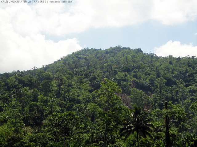 |
| the summit of Mt. Atimla as seen from the isolated house |
We were targeting to finish the hike and reach San Pablo early or at least before the sun sets, so after a few minutes of good rest, we carried on to the summit. Once again, we entered a woodland, hiked on the crisscrossing trails that are interconnected by the trails that Mang Bino bushwhacked a week ago (
walang duda, nakakalito talaga!) Even Kuya Bino himself hasn't fully grasped the new trail he just created. So much confusion and uncertainty, we just left it up to luck.
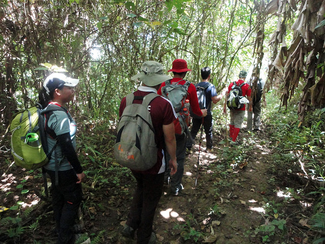 |
| not only did we have a hard time looking for the right trail to the summit, the humid air made our trek not that easy. |
Eventually we found the right trail after series of trial and error. Inspired by the great view of Mt. Kalisungan behind us, we reached the summit of Mt. Atimla at around 11:15 AM.
 |
| the rarely seen east face of Mt. Kalisungan as seen from the trail of Mt. Atimla |
The summit of Mt. Atimla is privately owned and an open grazing field for cows. There are trees surrounding the place so there's no full 360 view unlike in Mt. Kalisungan. Some peaks like Cristobal and Banahaw and of course Kalisungan can still be seen though.
As of June 2013, I've heard news that the owner is not happy that outsiders come by the area, thus prohibits mountaineers from entering the summit.
 |
| chilling time at the summit |
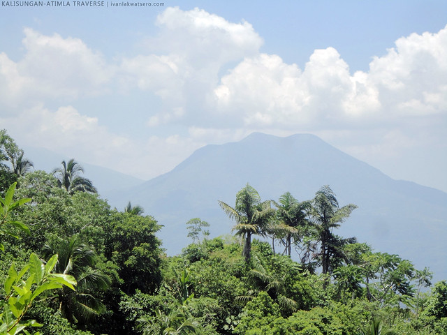 |
| Mt. Cristobal as seen from Mt. Atimla. |
After so much rest and good lunch, we decided to continue our trek, aiming for San Pablo to complete our Twin Mountain traverse. So we went again inside the forest of confusion and of course, we got confused again. We probably just move around the forest, took a u-turn somewhere, then surprisingly, we were led back to the isolated house we encountered earlier.
haha. I saw kuya Bino's reaction upon seeing unexpectedly the house again, and it was priceless.
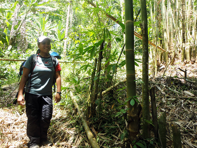 |
| Mt. Atimla's forest of confusion |
Kuya Bino's uncertainty helped Doc Gideon to decide not to gamble anymore for San Pablo as our exit for this traverse. After all, there is, according to kuya Bino, another way out. And it's easier, he said. This trail which lies just behind the
isolated house leads to a housing village in
Calauan, Laguna, and would take more or less 2 hours.
 |
| on our way to housing, in Brgy. Curba, Calauan, Laguna. |
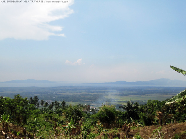 |
| Mt. Tagapo and Mt. Sembrano as seen from the easy trail |
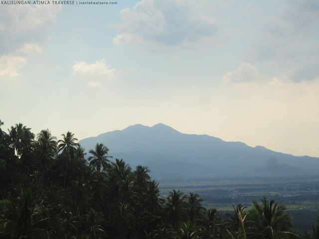 |
| Mt. Makiling also seen from the trail |
Indeed it is easier, not very steep and seemed so frequented. There's not exciting in this side of Mt. Atimla though, aside from the views of Makiling, Tagapo and Sembrano. And then finally, before 3 PM, we're already back on the ground. Oh, another hot day has gone, and another mountain experience to be treasured. Cheers to my 44th mountain, and cheer to everyone who joined in this hike.


Definitely would love to join with you Ivan and the rest of the gang someday. Very nice post!
ReplyDelete