To be honest, na-eexcite ako laging umakyat sa Mt. Cristobal because it has one of the most varied and interesting flora among the Tagalog mountains, comparable to Makiling and Malipunyo range.
___________________________________________________________________________
Saturday - June 29, 2013
The cancelled hikes of the weekend allowed me to join Doc Gideon in their get-together training climb for their upcoming Elbrus expedition. It's an honor to be invited with his Elbrus team, lalo na't kasama si Ms. Carina Dayondon, one of the few Filipino Everest summitteers. Woohoo!
With Kuya Lito as our guide, we started the trek a few meters before the Montelibano House. The concrete road which can now serve vehicles further up cuts the trekking time to at least 30 minutes. It was very cloudy, given that a storm was brewing somewhere south of Luzon. But we carried on, everyone was up for a challenge.
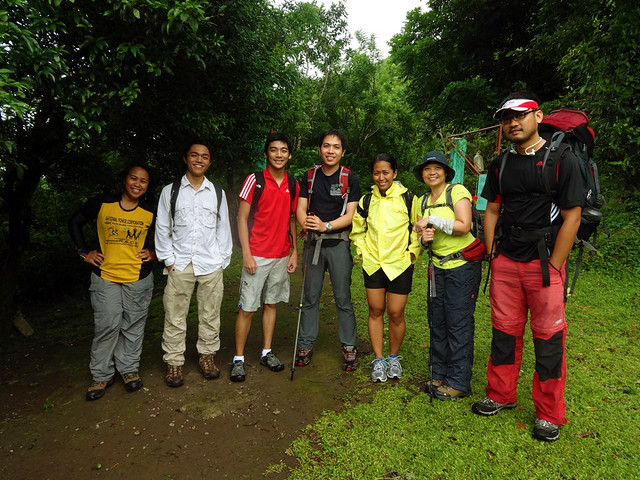 |
| one group shot before the actual hike starts |
The mossy forest of Cristobal, although not thick enough to rival those of the Cordilleras and Mindanao mountains, is still considerably beautiful, mystical, and picture-perfect.
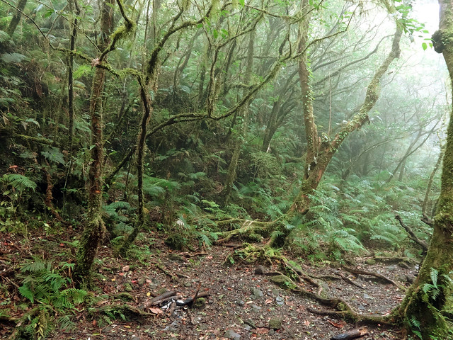 |
| mossy forest of Mt. Cristobal |
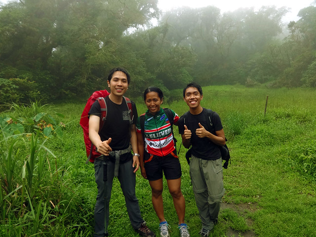 | ||
| with doc Gid and ms Carina at the crater of Cristobal. |
 |
| at the saddle. |
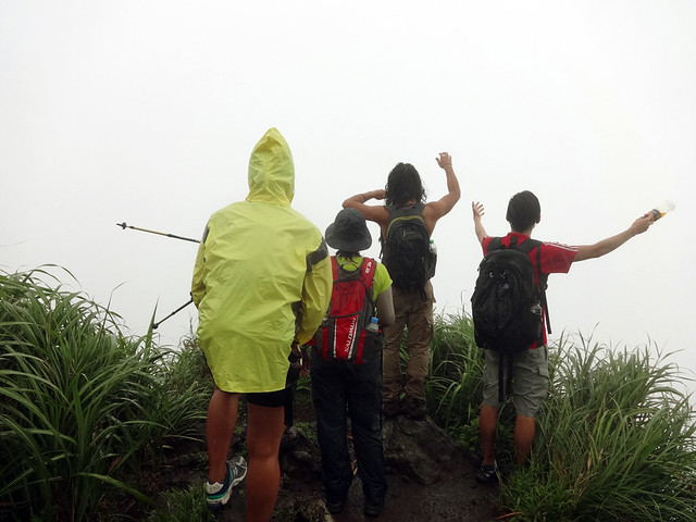 |
| plain white background at Jones Peak. |
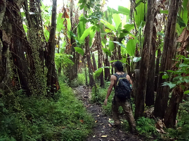 |
| the final leg of the trek is along a muddy banana plantation. |
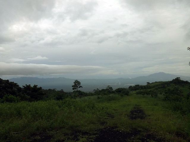 |
| Malipunyo Range (W) and Mt. Makiling (NW) as seen from Mt. Cristobal. |
_______________________________________________________________________
Check out my previous, more detailed posts on Mt. Cristobal:
Mt. Cristobal via Dolores Trail
Mt. Cristobal via Dolores-Rizal

0 feedback:
Post a Comment