It is not difficult to fall in love with Mt. Purgatory range, especially that it will let you experience what a Cordillera mountain has to offer. The balance between intense mossy trails, and paths lined with tall pine trees makes it one of the best hiking destinations in the Cordilleras, let alone its trails, which are mostly very manageable. No wonder, there was no second thoughts when I got invited to hike again the Purgatory range. I was too excited, almost one year, I came back to do the exact same thing—a Mangisi Traverse, aka Purgatory Mountain Range traverse via the six peaks.
______________________________________________________________________________
Saturday - December 7, 2013
At 7:50 in the morning, our gang reached Japas jump-off point, this was after the long but-numbing ride from Manila to Baguio City on a bus, then another 2 hours or so vomit-inducing ride on a van from Baguio City to the jump-off point in Bokod, Benguet.
Tipid Tip: When planning a hike in Mt. Purgatory and if just a group of 10 or less, consider renting a van instead of a monster jeep for it will cost you less.
 |
| As we waited for our guide and porter, stretching muna. It has been a long while since I last hiked a mountain. |
It was around 8:10 AM when our guide finally made her grand appearance (
yes, our guide was a lady). We began right away by taking the narrow upward trail branching out from the highway, officially starting our 2-day traverse hike.
While following our lady guide, my memory of the past Purgatory hike kept flashing back.
Lahat ng dinadaanan namin pamilyar pa rin. I still know when to go left or to turn right, and even the resting stations.
 |
| Pine trees kaagad ang pambungad. Sarap! |
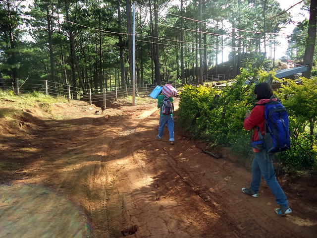 |
| approaching Mangakew peak, the first in the 6 peaks of Purgatory range. |
In no time, we reached the first village in Mangakew peak, where we were oriented by the locals in a multipurpose hall about the dos and don'ts in the mountain.
Now that's something new na wala sa nakalipas naming akyat. It was a fun teacher-student-like orientation with the cool guides of Mt. Purgatory.
And while we're all inside the multipurpose hall hearing the orientation, an unfortunate thing happened. Some hungry mongrels snatched my lunch for the day, leaving me with nothing.
Ang naabutan ko na lang ay isang empty plastic bag. Arggh! Kaasar. Lesson learned, never leave your belongings unattended. Realizing that my pack lunch has gone for good, we carried on towards the next peak.
 |
| More pine trees to en route to Mt. Pack junction |
The straight forward trail and cool climate made our hike easy up to the junction. And since there was a water source midway, hydration and extra load weren't a problem. Beauty of the trail was more appreciated than ever.
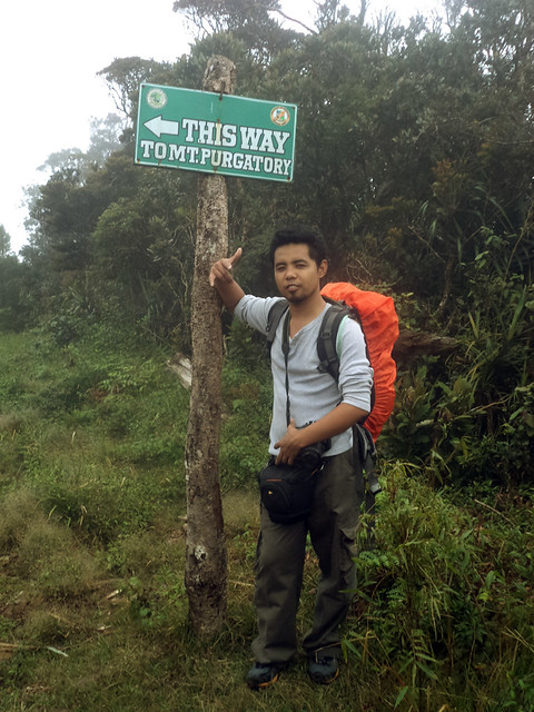 |
| Marker of the Mt. Pack junction. |
Stopping by a kubo a few meters past the junction, we decided to have lunch. It was almost 12 noon anyway. The unfortunate me, of course, begged for food from everybody since my lunch has already gone to someone else's good stomach earlier.
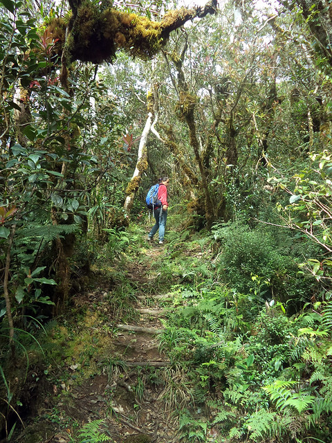
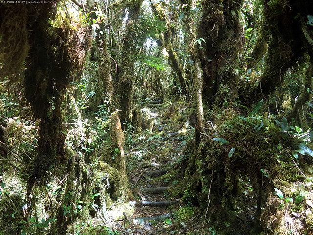
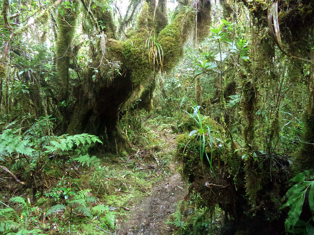
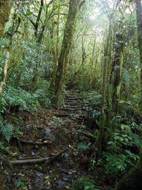
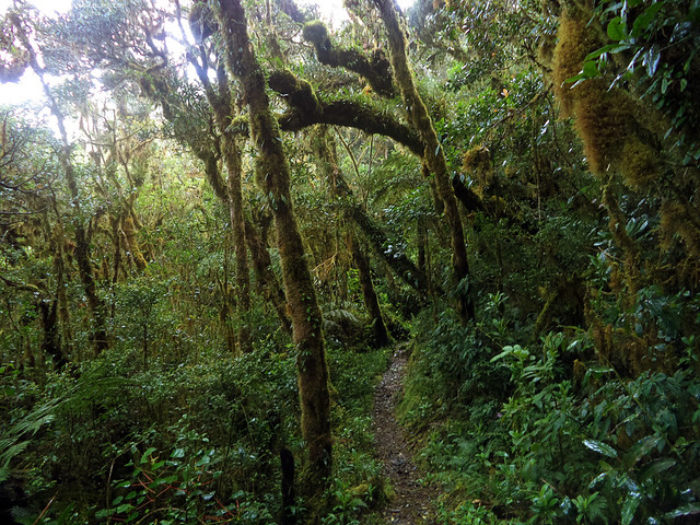
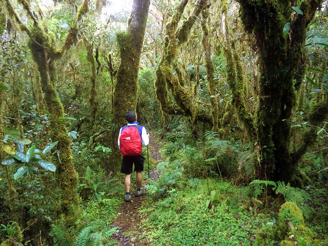
As soon as we finished eating, we continued towards Mt. Purgatory's mossy forest zone. And the portal to this amazing world is found right next to the kubo where we had our lunch. Brace yourself for some amazing photos of the amazing world of moss, coming next.
We arrived at Mt. Pack, the second peak in our traverse hike, after negotiating with the dense trails and slippery makeshift stair steps. We rested at the peak for about 10 minutes only since it was already getting too chilly all over the place. There was fog everywhere, joined by cool breeze and sporadic drizzles. Actually, this was a similar experience as before,
basang sisiw din kami the first time we did Purgatory traverse.
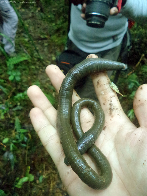 |
| I came across this giant earthworm while threading the trail to Mt. Purgatory Peak. Pinakamalaking earthworm na nakita ko sa buong buhay ko. |
Continuing the trek through the thick mossy trails led us to the heart of the Purgatory range. The Purgatory peak, is the 3rd of the six peaks of the mountain range, and has an open area that is potentially an awesome view deck, given a clear weather of course.
Sa kasamaaang palad, hindi ko pa rin nararanasang makita ang view sa area na ito. It's foggy as before.
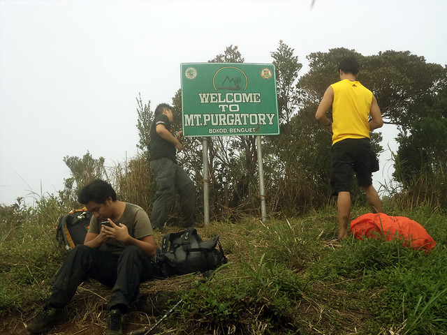 |
| There, a marker was set to welcome all the passers by. |
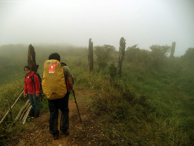 |
| Also there, were remnants of the transport system of the former lumber industry in the area. |
After another 30 mins more or less of trekking, we came to Aponan junction where we stopped for a short break inside a shed. I know Bakian Primary School could be reached in 15 or 20 minutes if I trail run from this junction, so I asked our guide if we can pace up.
Ngumiti lang siya at bigla na lang kumaripas ng takbo. I tried keeping up with her but wasn't able to, trail runner ata si ate.
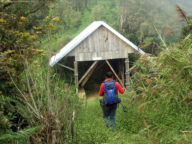 |
| Aponan junction |
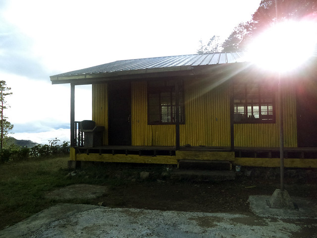 |
| Bakian Primary School. Our destination for the day. However, the doors were padlocked when we arrived, and our guides weren't able to get the keys. Naku po! |
Just when we thought we're staying outside, and gonna endure the cold of the night, our guide managed to destroy the door handle. So yeah, we got inside by breaking into it.
Feeling ko, we're trespassers.
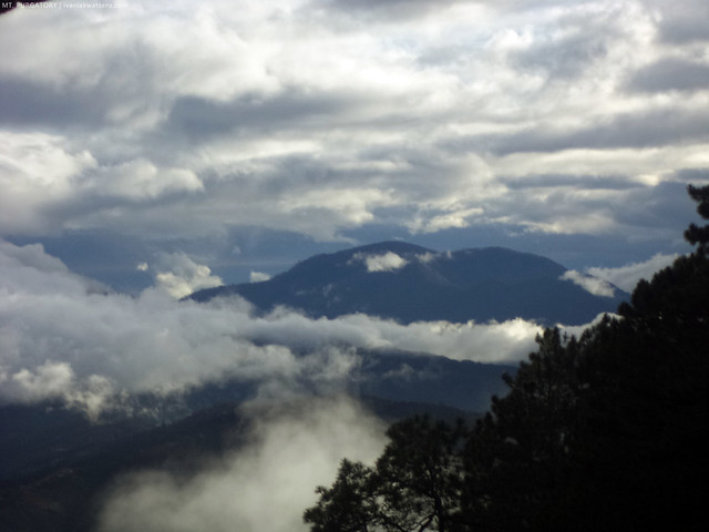 |
| before I entered the school, I did notice Mt. Ugo on the horizon. |
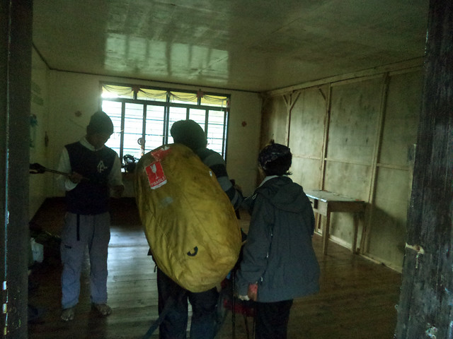 |
| the trespassers entering the school |
No one attempted to go outside again when the whole gang got inside the school. The cool air was just too unbearable.
Maninigas at mangangatog ang sinumang mangahas na lumabas. Anyway, since it was almost 6PM, we've began preparing our dinner.
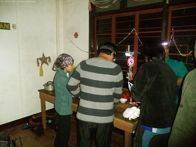 |
| Staying inside local houses, sheds, or multipurpose buildings would make food preparation a lot easier, especially on a cold dark night. At kapag ganon, asahan nang mayroong something special na kakainin. |
Practically, there's nothing else we can do after finishing our dinner, and we're kind of tired from the day's trekking, so naturally we quickly fell asleep.
Kahit sobrang lamig, layers of jacket and sleeping bag did a great job in keeping warm. Sarap ng tulog ko!
Sunday - December 8, 2013
Waking up the following day was a challenge, as our bodies ache, and the chilly morning air keeping us stuck in bed, I mean on the floor. It was a very foggy morning.
Pati bibig namin umuusok dahil sa lamig. The temperature was so low that I caught a cold over the night. Yikes.
Pero kelangan nang kumilos!
It took us 2 hours plus to prepare our breakfast, stuff it into our stomachs, and then pack our things. And then at 7:50 AM, we resumed marching on the trails.
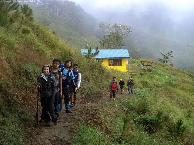 |
| after staying for a night in Bakian School which is located at the base of Bakian Peak, the 4th peak of the Purgatory traverse, we're now headed for the next peak. |
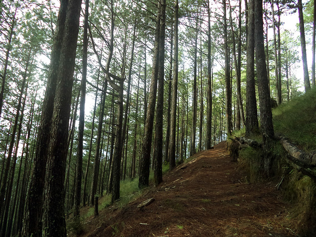 |
| En route to Mt. Tangbaw, a grandiose display of pine trees can be sighted The trail was not that challenging, so the pleasant view can be well appreciated. |
At Tangbaw Peak, which is a very nice viewing deck, we spotted other familiar Benguet mountains, including Mt. Sto. Tomas, Mt. Timbak, and of course, the great Mt. Pulag.
 |
| Mt. Tangbaw is also an ideal campsite, with its wide clearing. |
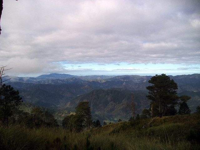 |
| Cascading Cordillera mountains, the highest point being Mt. Sto. Tomas |
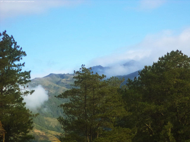 |
| Mt. Pulag, the summit is covered by clouds |
A few steps from Mt. Tangbaw led us to another zone of mossy forest, which is just perfect. I am fond of hiking mossy trails mainly because I don't get tired easily on this type of environment, and I usually need less water. So physically, I can last longer in this type of trail than other types (
i.e. open grassy trails, wide rough roads, volcanic rocky trails, river systems). I know there's just one more peak beyond this trail before we take the final descent towards the end of our traverse, so I excitedly threaded the way.
I arrived first at Komkompol Peak, the 6th and last peak, which by that time was too foggy. I am certain, Mt. Pulag can be seen right at the front of the view point,
pero sobrang foggy talaga eh. Milagrong maituturing kung biglang mawawala na lang ang fog. But I still prayed and hope it would be gone while I'm waiting for my comrades.
 |
| Foggy at Komkompol peak. |
Obviously, the fog did not subside.
Kaasar. But it's ok, what's important is we're about to make our final descent and enter one of the best parts of the whole traverse, the best pine forest ever,
at least for me!
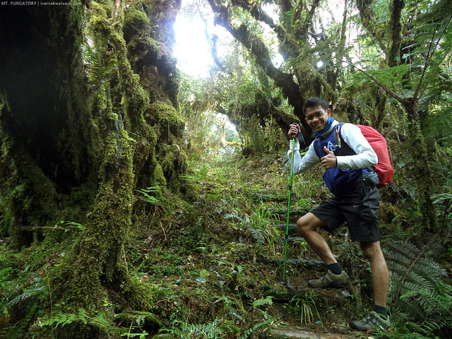 |
| just one more round of thick lush forest, before we enter one of the best things in Purgatory Range. |
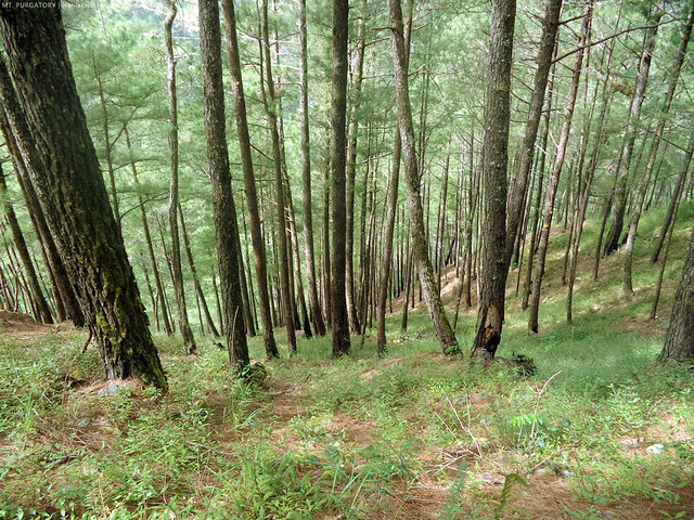
Going through the mossy forest of Mt. Purgatory is just one part of the total experience in doing this great traverse. The pine forest as well is a great magnet in this hike. I'm not basing this statement from what I read online or what has been told to me for I've personally experienced hiking Mt. Purgatory already.
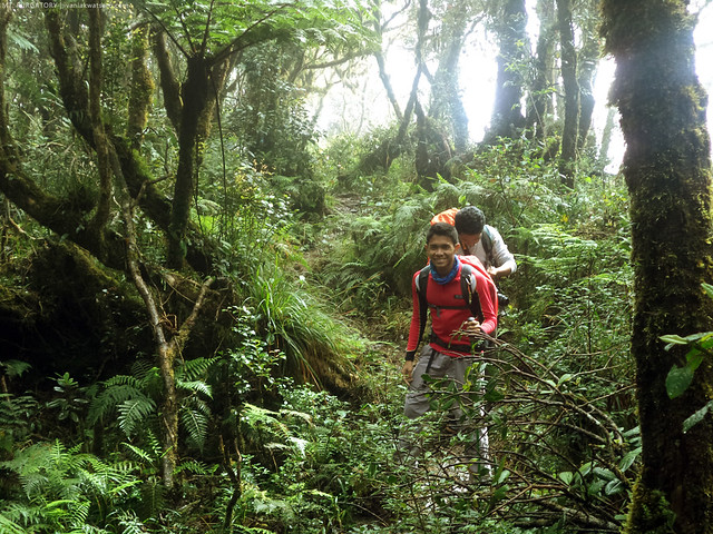
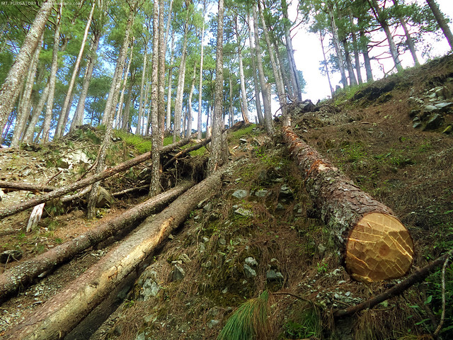
By 10:20 AM, we exited the mossy zone and entered the great pines. To me, Mt. Purgatory's pine forest is really the best among the Cordillera mountains that I've hiked so far. So feed your eyes with this rundown of pine forest photos, taken while I was walking down the trails.
Past the majestic pine forest zone, we reached Ekip village. Actually, we lost our way in that village, we found ourselves in a small coffee plantation instead of the Ekip barangay hall which I remember from our past hike. Masyado kasi mabilis yung guide namin, naiwan kami. hehe. Anyway, hindi naman kami naligaw talaga. We just walked back a little and found the right trail.
We decided to ran the remaining length, which is probably 4 kilometers or so, over a concrete road which wasn't there the last time.
Rough road lang yung naalala ko noon. The last leg was quite steep, definitely not friendly to your weakened knees. But we still made it to the finish line. It was around 12:30 when we got to Ekip-Pethal border, marking the end of our traverse hike.
Whew, thanks so much to
Team Tramping for letting me experience again one of my most favorite hiking destinations in the Cordillaras. The best talaga kayo! Thanks also to Adrian at Jason for joining this hike, I hope you guys had a great hiking time.











Hi, would just like to know sino po ang contact niyo para kumuha ng guide? And how much? :)
ReplyDeleteHi, would just like to know sino ang contact para kumuha ng guide? And how much for the guide and the two-day itinerary? :)
ReplyDeleteAhaha. The tagalog of mangakew is magnanakaw. Kya ka siguro nawalan ng baon. LOL
ReplyDelete